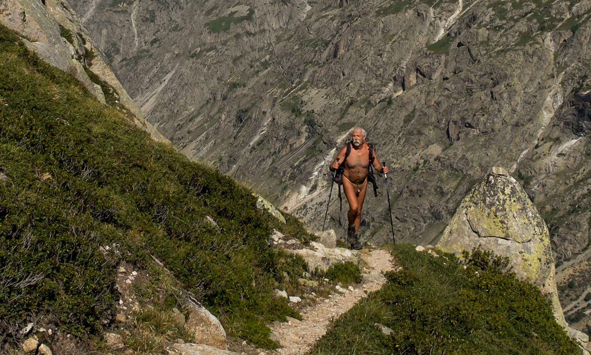
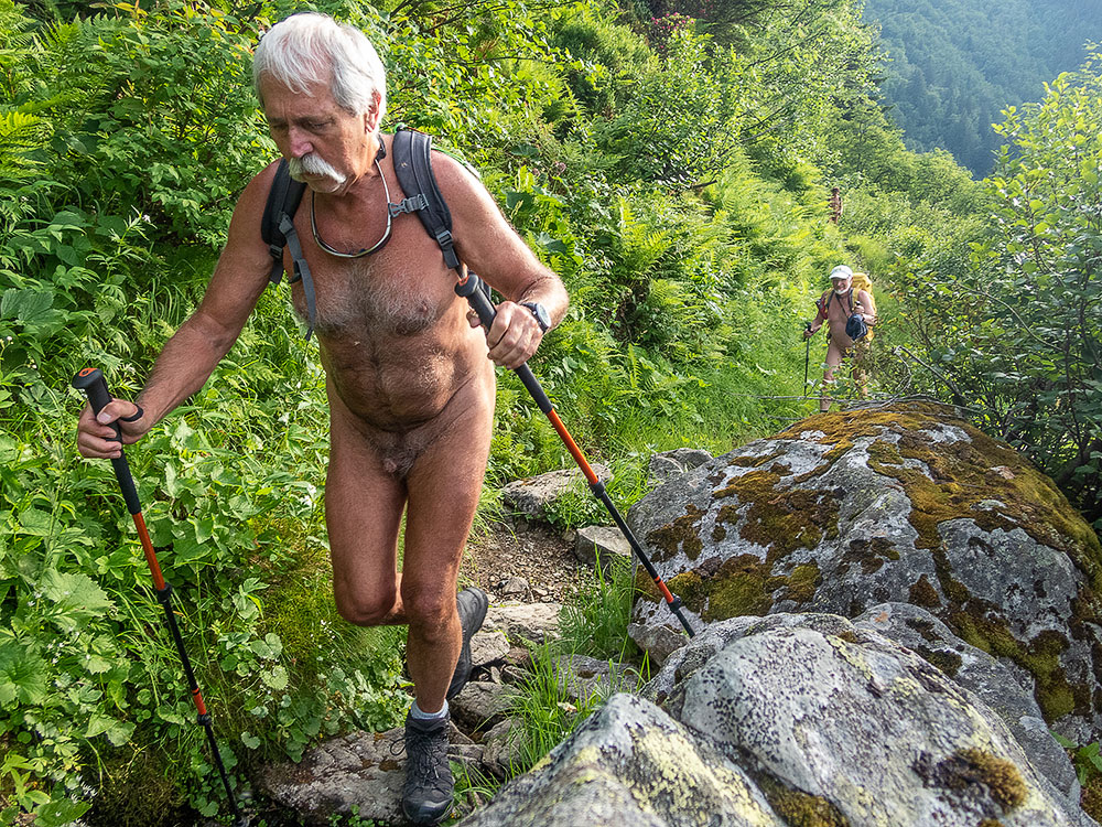
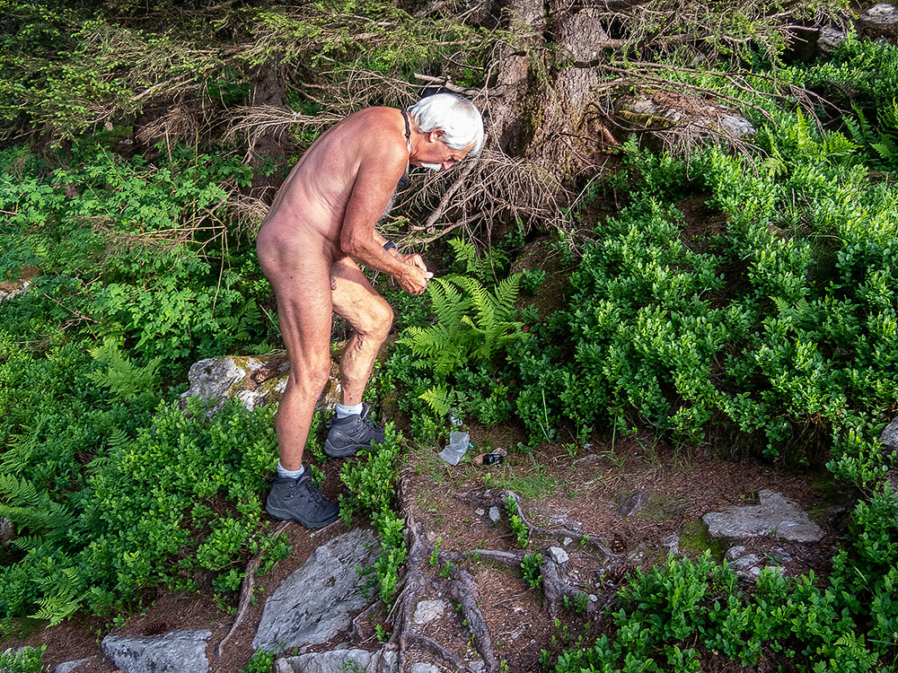
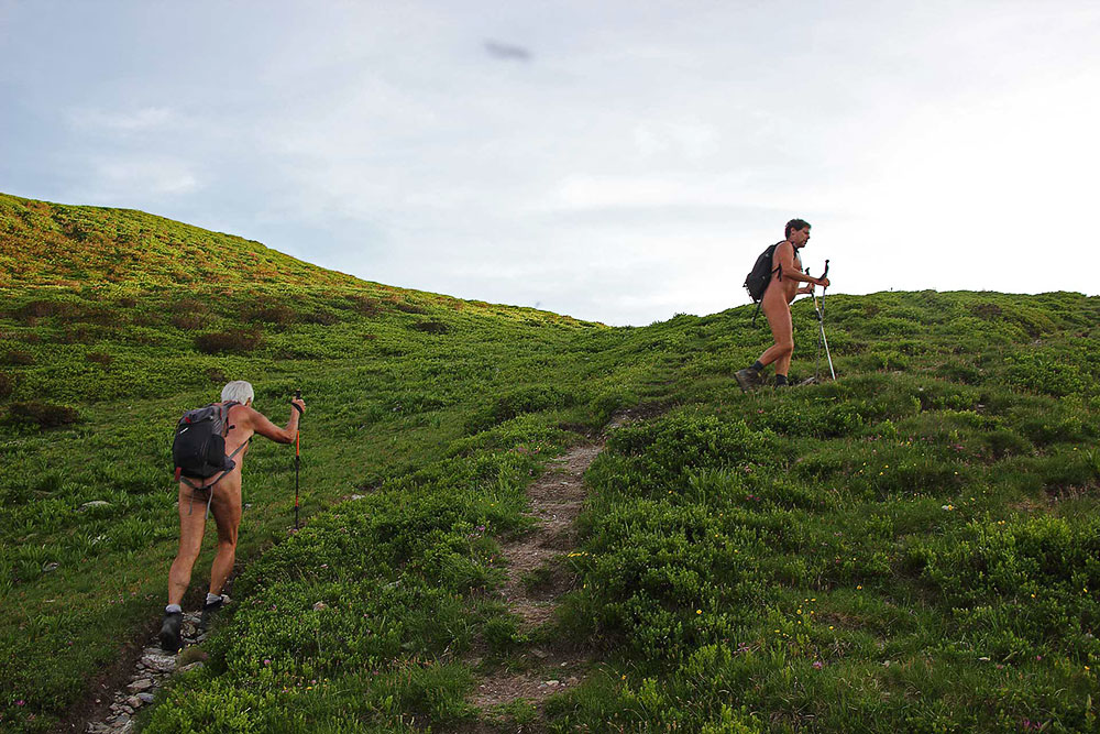
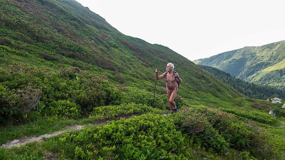
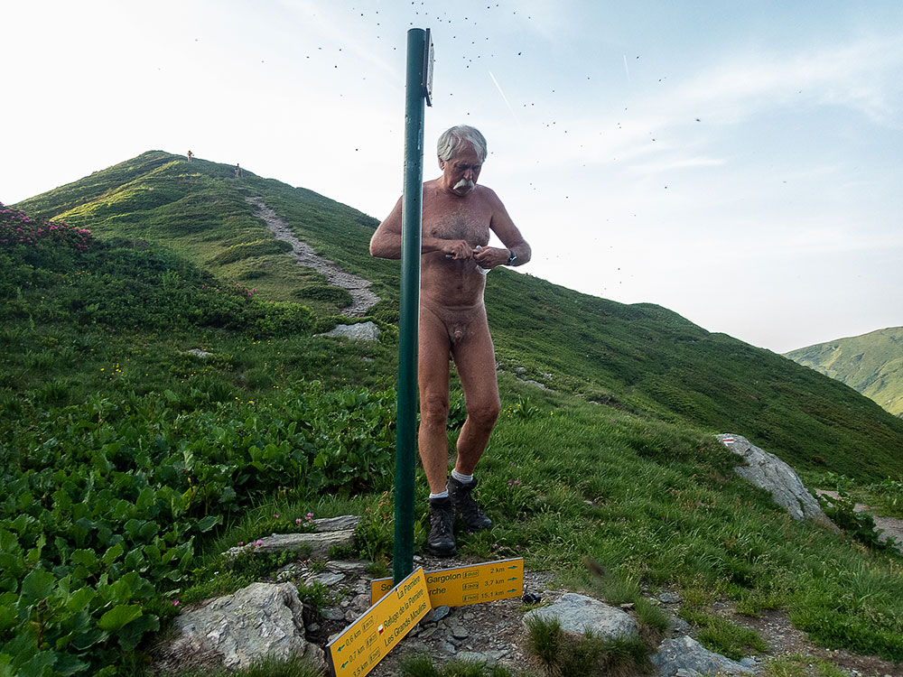
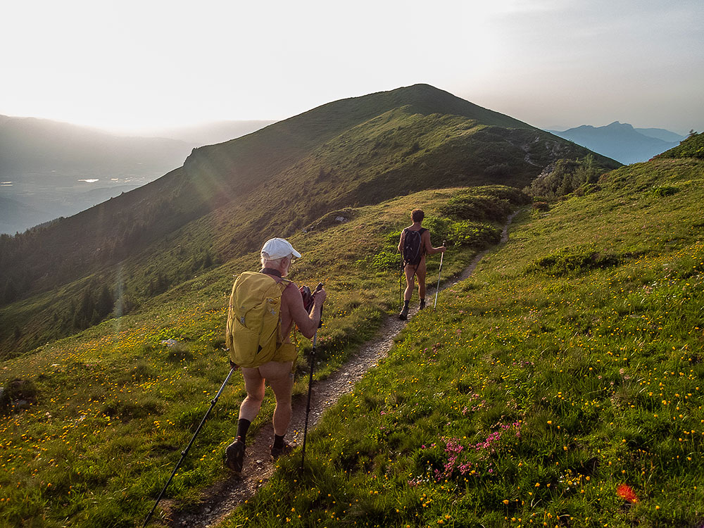
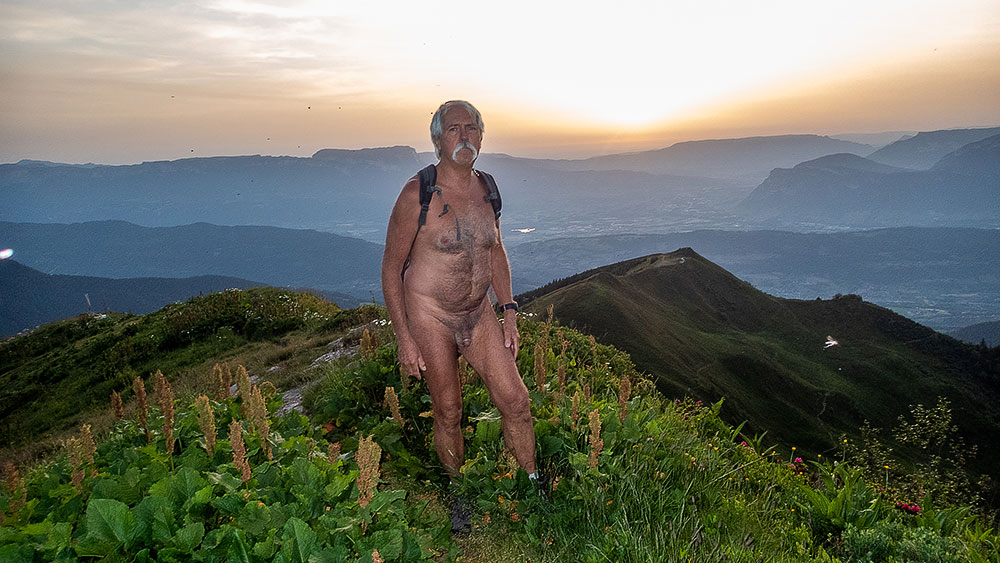
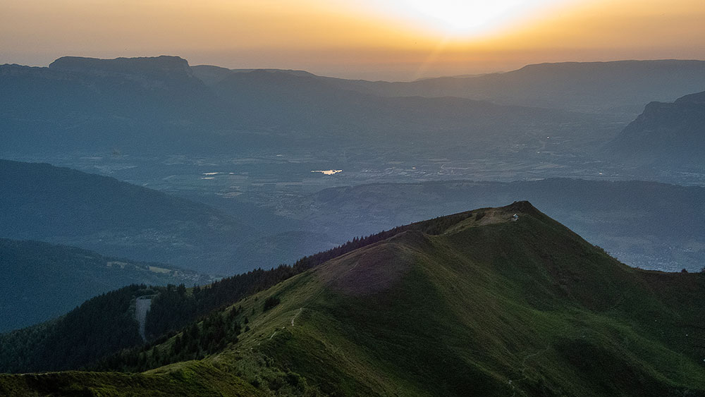
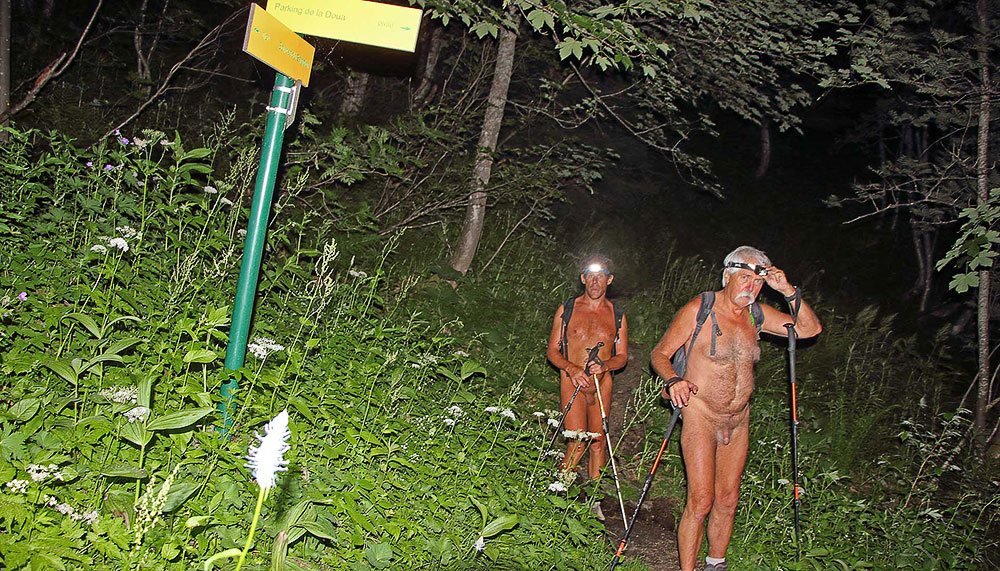
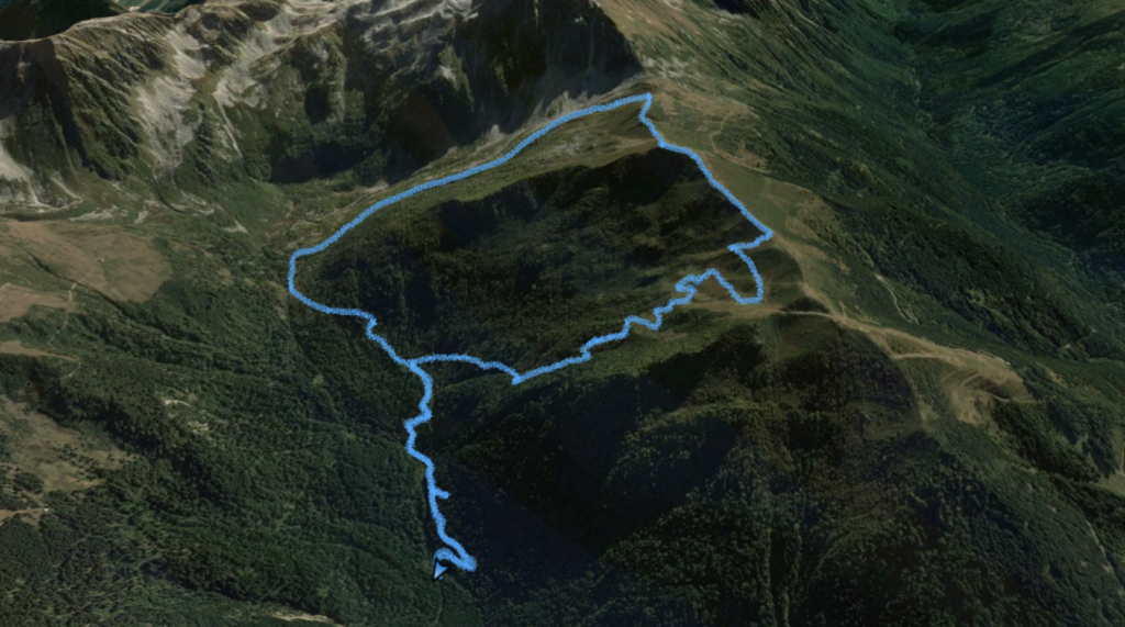
Période caniculaire. Pour échapper à ces hautes températures, Bruno propose une randonnue crépusculaire. Je suis bien évidemment partant. On se retrouve à trois sur un parking de la Rochette pour embarquer dans sa voiture. Quelques kilomètres de route et une bonne distance de piste forestière plus tard on arrive au départ du sentier. Il est 18h45, il fait bon dans ce versant nord de la chaîne de Belledonne! Pas d’autre véhicules dans ce coin retiré, donc départ nus. Ce sera une rando 100 % naturiste ! Ça commence à monter tout de suite en forêt. On atteint la source du Gargoton où je trouve une geocache, mais les copains ont continué directement, je dois donc les rattraper. Le sentier monte entre blocs rocheux et massif de rhododendrons jusqu’à atteindre le col de la Perrière. Seconde geocache. Encore un effort jusqu’à un petit sommet qui nous permet de contempler le temps d’un sandwich au soleil couchant l’ancienne station de Valpelouse, la vallée de l’Isère au loin et la chaîne de Chartreuse. Puis c’est la descente dans la semi obscurité dans une combe couverte de myrtillier, puis en forêt. Là l’obscurité est complète et le descente se continue et finit à la frontale.4 heures de rando, près de 10 km et 800 m de dénivelé…officiellement pas un effort à faire en période de canicule…mais on était si bien la haut seuls et au frais !
Hot period. To escape these high temperatures, Bruno proposes a twilight naked hike. I am obviously part of it. We find ourselves to three on a parking lot of the Rochette to embark in his car. Some kilometers of road and a good distance of forest track later we arrive at the departure of the path. It is 18h45, it is pleasant in this northern slope of the chain of Belledonne! No other vehicles in this secluded area, so we start naked. It will be a 100% naturist hike! That starts to go up immediately in forest. We reach the source of Gargoton where I find a geocache, but the buddies continued directly, I must thus catch up them. The path goes up between boulders and massif of rhododendrons until reaching the pass of the Perrière. Second geocache. Another effort to reach a small summit which allows us to contemplate the time of a sandwich at sunset the old resort of Valpelouse, the valley of Isère in the distance and the mountain range of Chartreuse. Then it’s the descent in the semi-darkness in a valley covered with bilberry trees, then in the forest. There the darkness is complete and the descent continues and finishes with the headlamp.4 hours of hike, nearly 10 km and 800 m of difference in height…officially not an effort to make in period of heat wave…but we were so well up there alone and in the cool!
